Authors: V. Parisi, A. Averna, M. Crisci, R. Perrella
Download article as .pdf: Una città nella città. Forma e funzione delle acropoli nelle colonie greche d’Occidente: i casi di Cuma, Siracusa, Taranto e Neapolis
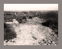
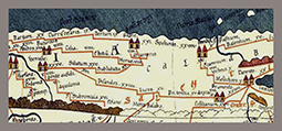
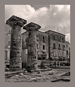 The paper presents the preliminary results of the research project “AKROMA. Akropolis of Magna Graecia. A critical ‘top-down’ view on Landscape, Architecture and Cult Network in the Western Greek Colonies” – University of Campania “L. Vanvitelli”. Starting from four carefully selected key sites (Cumae, Syracuse, Taranto, Neapolis), the theme “acropolis” in the Greek colonies in Magna Graecia and Siciliy, which had been never investigated systematically before, has been object of a wide-ranging analysis, whose goal was to identify its peculiarities from a specific Western Greek point of view. Emphatic and strategic places due to their morphological and orographic features, acropolises are arranged as “city within a city”: they are well-defined and separated areas, protected by natural defenses, which at the same time projected outwards (the sea, the lower city, the hinterland) and were always characterized by public, collective and representative functions. Their role, both concrete and symbolic, developed around two main functional poles, the religious one (as the site of the oldest city temples) and the political/military one (particularly emphasized with the development of polyorcetic techniques in the Hellenistic age). Thanks to the comprehensive reinterpretation of archaeological data and the emancipation from the motherland models, colonial acropolises can thus regain space and significance in the urban history of the Western Greek poleis.